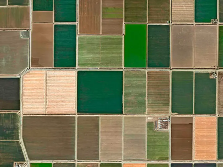
Draw your farm on the map
Import your SIGPAC parcels with one tap or draw them on the map. Your farm is digitized in minutes.
SIGPAC plots, jobs, treatments, costs and sensors in one app. Works without coverage.
Parcels, field work, treatments, costs and sensors in a single app. Works without signal.
Free plan · No card needed · Cancel anytime
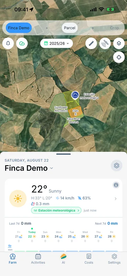
This easy
No complicated setup, no training courses. If you can use WhatsApp, you can use Finquet.
Import your SIGPAC parcels with one tap or draw them on the map. Your farm is digitized in minutes.
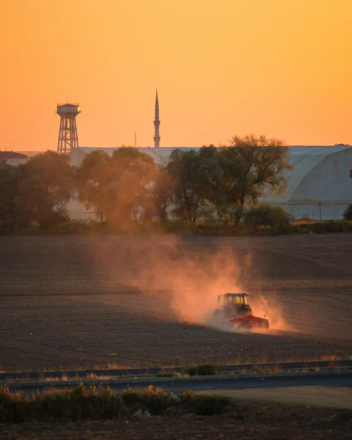
Irrigation, treatments, fertilizing or photo notes: record them right in the field from your phone, with or without signal.
While you get on with your day, Finquet turns your records into the field logbook, costs and reports ready to submit.
The essentials
Everything a farm runs on
Every record sits on the map and links to the rest: the job to the product, the product to the cost, the cost to the plot.
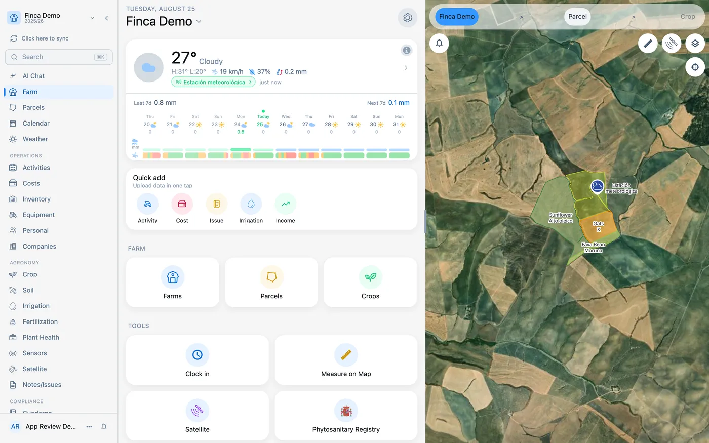
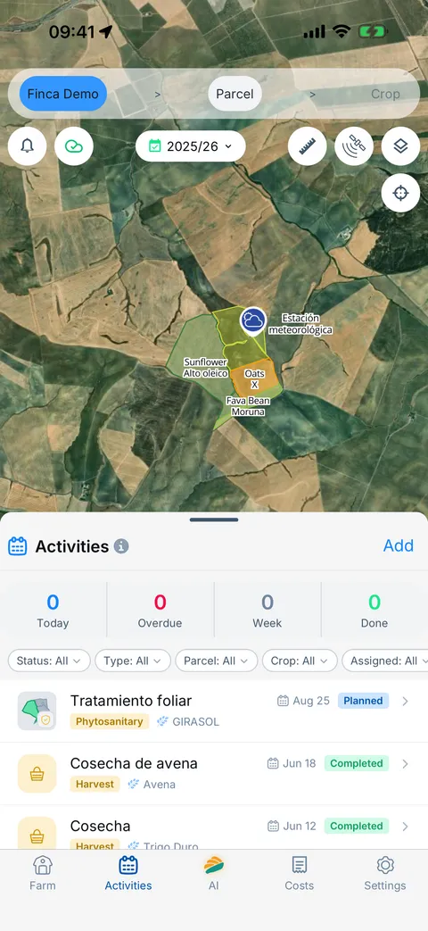
The app, as it is
Real, unretouched Finquet screenshots.
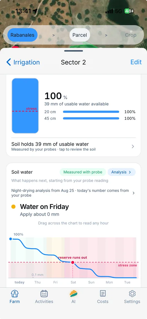
Probes at two depths, days until water stress, and the irrigations the probe detects that are missing from your logbook.
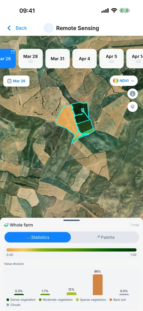
NDVI for each date, split between vegetation, bare soil and cloud.
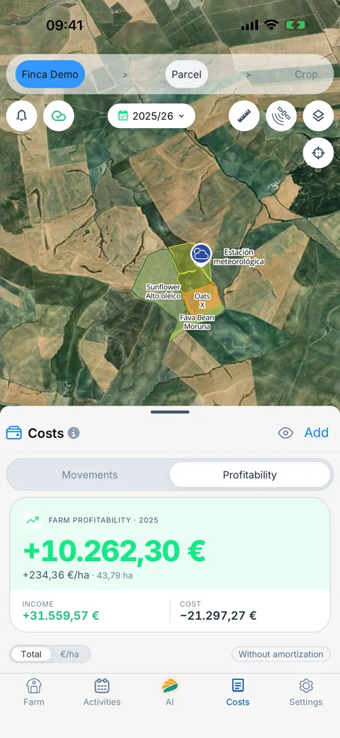
Every cost and every sale tied to the plot; the margin works itself out.
Georeferenced by nature
Every record has its place on the map: plots, crops, sensors, jobs and issues, layered on top of each other. That is why they can be cross-referenced.
Finquet AI
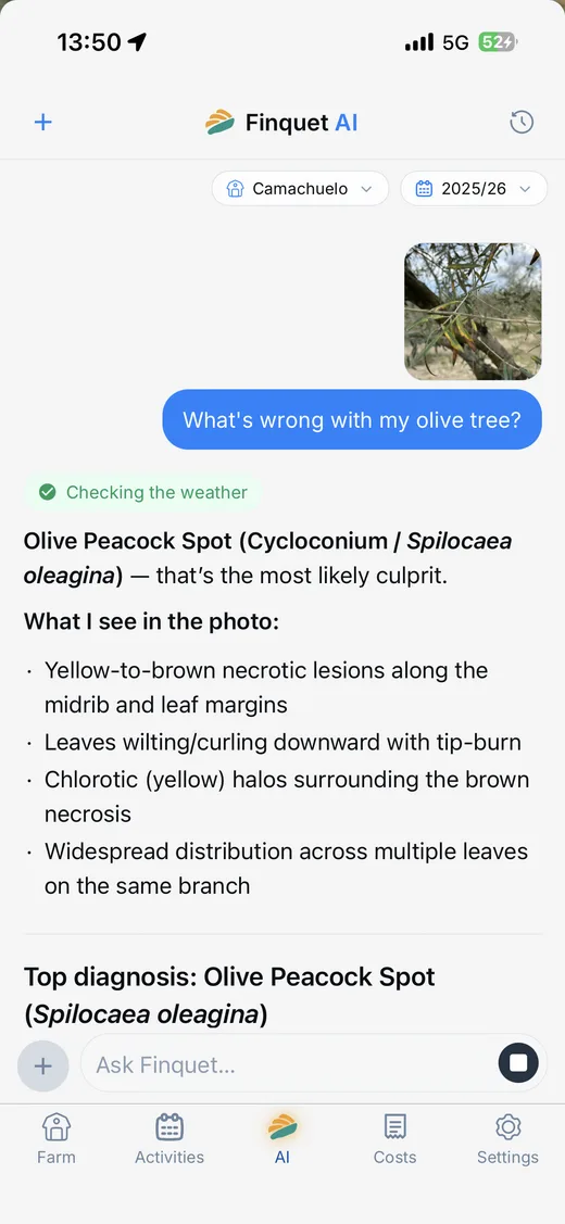
The assistant reads your activities, costs and crops and answers on your phone. Nothing to export, no forms to fill.
Your data
Finquet keeps the record on your phone, exports it in the official format and shows it only to the people you choose.
Multiplatform
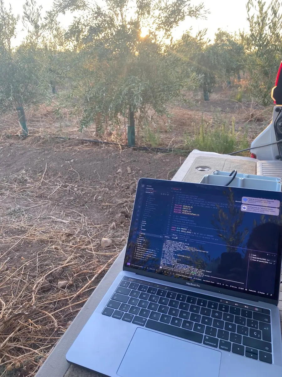
The same experience on mobile, tablet and desktop. Your data synced, even offline.
For your crop
Olives, vines, fruit trees, vegetables or arable: change the crop, not the tool. The modules that matter for each one come switched on.
Deficit irrigation, treatments with pre-harvest intervals and costs per season, from pruning to the mill.
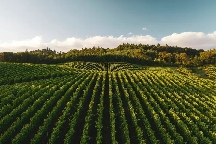
Treatments with pre-harvest intervals per variety, spraying window and leaf-wetness hours from your station to stay ahead of mildew.
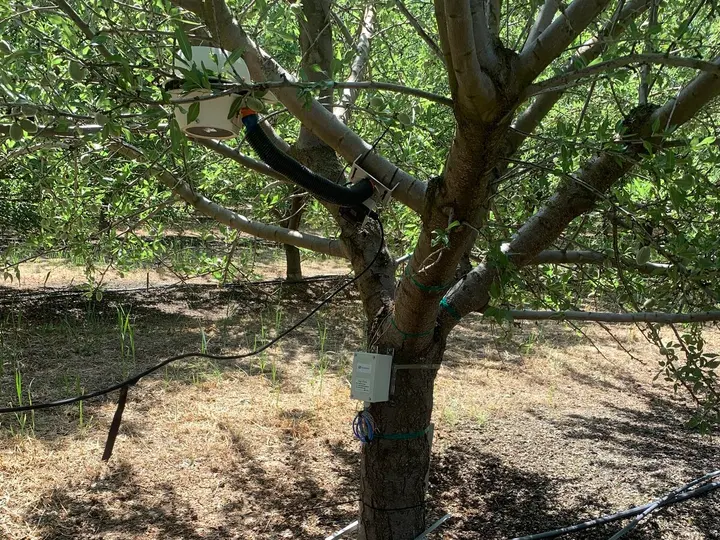
Chill hours, water balance and soil probes at the tree to irrigate when it is due.
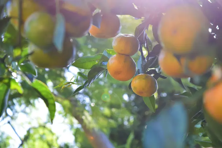
Sector irrigation with water balance, fertilisation and costs per parcel, and traceability of every harvest.
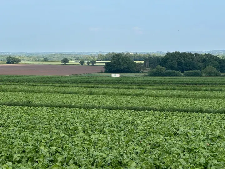
Short seasons, several a year: logbook up to date, input inventory and traceability per parcel.
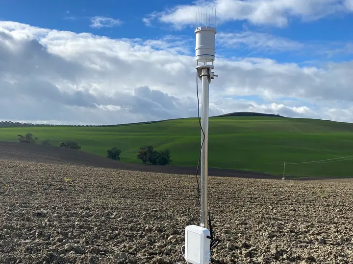
Full parcels, your own weather station and a spraying window to treat on time.
Who it's for
Your farm on the map and the logbook done. Start on the free plan.
Start for freeSeveral farms, per-person permissions and one logbook per holding.
Sensing, custom screens and platforms for thousands of users.
Integrations
We integrate with leading providers of machinery, sensors, weather data and your company's internal systems. If you need to connect with any other system, contact us.
 John Deere
  CLAAS
CLAAS  Trimble
  Weather
  Davis
Davis  Ecowitt
 Need another integration?
Plans
Start for free and move to Pro when you want to see the farm from the satellite. Pro is arranged per farm with our team.
€0 forever
For farmers who want to keep their field book without paying anything.
Price on request
For farms that want to see their fields from the satellite and get ahead of pests and diseases.
Price on request
For cooperatives, distributors and advisory firms managing their farmers' portfolio.
Our commitment
Every Finquet feature exists to deliver on at least one of these commitments.
Your field logbook fills itself in while you work: activities, treatments and reports ready to submit.
Your sensors, satellite imagery and irrigation speak the same language and turn it into clear decisions for today. With or without signal.
Give your agronomist or cooperative access with permissions on your terms, and stop filling in the same thing twice. Your data is yours: export it whenever you want, and we never sell it.
FAQ
If your question is not here, write to us and a person from the team will answer.
Finquet is a farm management app built on a map: you draw or import your parcels and from there you log field work, treatments, irrigation, costs and sensors. The field logbook is generated from what you record.
Yes. The Free plan costs €0 forever and includes unlimited logbook, activities, costs, inventory and notes, SIGPAC parcels, the plant-protection catalogue and your connected sensors. No card and no lock-in.
Yes. Finquet stores everything on your phone first, so you can log in the field without coverage. When the connection returns it syncs with your other devices and with whoever has access to the farm.
Yes. Finquet is an authorised digitiser for the Digital Farm Logbook. The activities you record become the regulatory logbook and you can export it whenever you need it.
Yes. Tap a parcel on the map and Finquet imports its geometry and SIGPAC reference. You can also draw parcels by hand or merge several plots into one parcel.
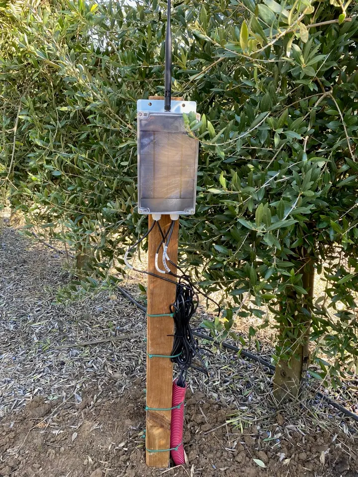
Davis, Ecowitt and Netatmo stations, networks such as Weather Underground and WeatherLink, and probe platforms such as Cesens or ThingSpeak. With Finquet Connect we also install soil probes and dataloggers on the farm.
Yes. You give each person the permissions you want: view only, log activities or manage the whole farm. You can revoke it at any time and the data stays yours.
The assistant answers questions about your own data: which treatments you applied on a parcel, how much you have spent this season or what is pending. It also reads invoices and lab reports in PDF and turns them into records.
iPhone and iPad, Android and the browser at app.finquet.com. The same account and the same farm on all of them, in sync.
Got another question?
Map the farm this afternoon and from tomorrow the logbook fills itself in. Start on the free plan.


